Underground depth records need a starting point
A mine's working depth, rock above a laboratory, and a cave's surveyed drop describe different measurements. The reference point changes what a depth record means.
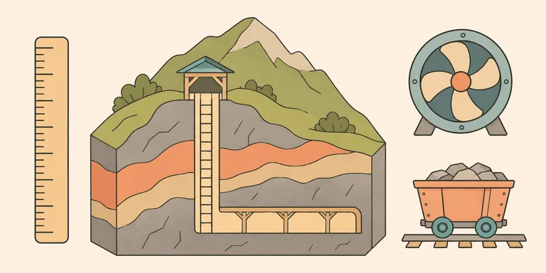
A mine working several kilometres below its surface and a laboratory beneath a mountain can both be described as deep underground. Their published numbers may begin at different places. Comparing them requires a reference point before it requires a ranking.
Mine operators may report the depths of active production areas. An underground physics laboratory may report the thickness of rock above a hall. A cave survey measures a vertical difference relative to its entrance. Each measurement answers a real question. Combining them in a single league table can hide the question the number originally answered.
Read the reference point beside the figure
Harmony's operating page for Mponeng in South Africa reports mining depths of 3,160 to 3,740 metres below surface. It describes infrastructure using a main shaft supported by a sub-shaft. The page also describes a life-extension project approved in February 2024. Those facts explain the operation's layout and its reported production-depth range. The operator's Mponeng page gives the figures.
A production range can change as an orebody is developed. An older deepest-point figure may refer to another level, another reporting date, or a datum used for the survey. To compare two figures, keep the original labels attached to both. Rounding each to about four kilometres removes the detail needed to explain a discrepancy.
A proposed extension also has a different status from an operating level. Approval establishes that a project has been authorized. Reaching a new underground working area requires excavation and the systems needed to use it. An article about current access should distinguish the approved plan from completed work.
A mountain can provide rock cover without a vertical descent
China Jinping Underground Laboratory reports about 2,400 metres of rock overburden. Its location beneath Jinping Mountain gives experiments a thick shield against particles arriving from above. The official laboratory description uses overburden as the relevant depth measurement. The facility overview explains its setting.
A horizontal route into a mountain can reach a place with a great thickness of rock above it. The height of the mountain contributes to that shielding. The person entering the facility therefore does not need to descend the entire overburden distance through a vertical shaft.
For physics, the shielding is part of the purpose of going underground. A laboratory's scientific requirements determine which aspects of the rock environment need measurement. A simple travel-distance comparison would leave that purpose out of the account.
The distinction also affects how a visitor imagines access. A depth below a local mountaintop is a different description from elevation below sea level. Both can be measured for the same room. The report should name the one it uses.
A long tunnel adds a second distance
Switzerland's Federal Office of Transport describes the Gotthard Base Tunnel as 57 kilometres long, with as much as 2,300 metres of rock above it. The length describes the route through the Alps. The rock cover describes the mountain above particular parts of that route. The federal transport account supplies both measurements.
For a person using the tunnel, the horizontal distance affects travel through the system. For the engineers responsible for the excavation, the rock conditions affect support and construction. One number cannot substitute for the other simply because both are expressed in metres.
The completed tunnel also remains an operating system with maintenance costs. In its June 2026 anniversary account, SBB described continuing monitoring, cleaning work, and investment in the tunnel. The same account discussed the damage caused by the 2023 freight derailment and the subsequent restrictions. SBB's operational update provides that more recent context.
Construction establishes the passage. Maintenance keeps the passage usable. A story about human access underground needs both parts of that history, especially when it describes a facility as currently operating.
Cave survey depth has its own endpoint
Veryovkina Cave in the Arabika Massif reaches roughly 2.2 kilometres below its entrance in published surveys. A 2026 research paper describes sediment sampling at vertical depths down to 2,204 metres. That is evidence of the locations used for that study, with its own sampling history. The primary paper reports the work.
Exact cave rankings depend on which survey and endpoint a source uses. An underwater measurement adds another question: whether the reported endpoint was reached by a person or measured by equipment. A statement about surveyed geometry should keep that distinction visible when discussing human access.
The vertical difference also leaves out the distance travelled along the passages. A winding route may require much more movement than its vertical drop suggests. An expedition's logistics depend on the actual route, including the parts that make a return slow.
Access has to remain usable in both directions
A person working underground needs a way to enter, a suitable environment while there, and a way to leave. These are joint requirements. Extending a passage adds work to the systems that support those requirements. It can lengthen routes used for supplies or evacuation even when the extra vertical depth is modest.
There is no single depth figure that turns those costs into a universal limit. The ore being mined, the experiment being protected, or the route being connected supplies the reason to accept them. A credible depth record names the reference surface, the measured endpoint, and the kind of access actually achieved.