The deep sea has a data problem
FathomNet brings reviewed labels to ocean imagery. The work after a vehicle collects footage determines what other researchers can identify in it.
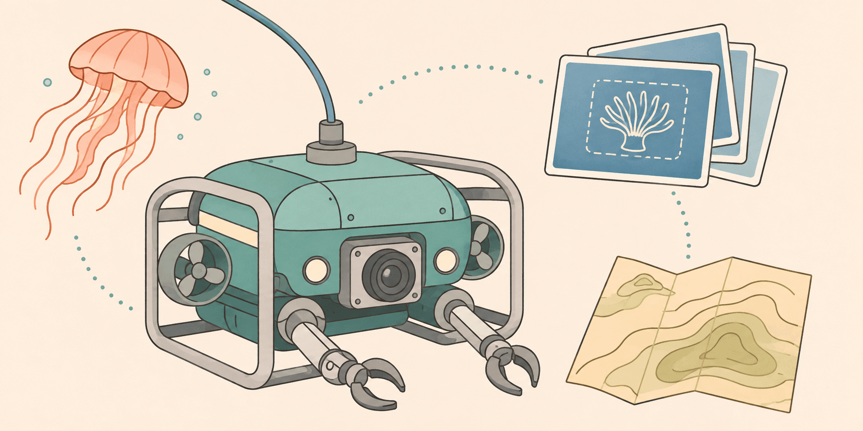
Underwater cameras can collect more footage than researchers have time to annotate.
The work after collection is what interests me about underwater AI. Researchers need to find an organism in the footage before identifying it. They also need the observation's location with enough context to interpret it.
My original note covered navigation with underwater robots, then moved through sonar cleaning to models running on the vehicles. FathomNet gives me a more specific question to examine: how can shared, reviewed observations support machine vision?
Build labels other researchers can use
FathomNet is an open database of labeled ocean images. Its researchers describe inconsistent formats as a barrier to machine learning, alongside the shortage of labeled examples. Their paper reports work on reducing video annotation effort. It also describes recognition used in robotic tracking. FathomNet research paper
Producing a label requires identifying the object with its position in the image. Other researchers need to interpret the label consistently. Partial obstruction can make identification difficult before a model is asked to attempt it.
MBARI describes expert review in the database's workflow. Classification names what is present. Localization records where it appears. Each task requires a different annotation, so a dataset's size needs to specify which work has been completed. MBARI's FathomNet database
I recognize a software problem in that process. Consistent input lets a component apply its rules, while inspectable output lets someone review the result. Exceptions still need an owner, especially when a mistaken label will be reused by other researchers.
Route public contributions through review
FathomVerse lets people label ocean images through a game. Their contributions support FathomNet without requiring every participant to train as a taxonomist. The interface gives them a way to contribute to annotation work on actual research imagery. FathomVerse at MBARI
In its 2026 app update, MBARI reported that community contributions had led to more than 100,000 annotated images being shared through the open database. That count measures the resulting annotation resource. Performance in an unfamiliar environment would need a separate model evaluation. MBARI's 2026 FathomVerse update
Dataset coverage affects that evaluation. A collection concentrated on one camera type may poorly represent another. Habitat coverage can differ too, as can the organisms represented. Before using a detector in a new location, I'd examine its previous examples against checks on local observations.
Public contributions need a route for uncertain labels to reach specialist review. The interface can make the initial task approachable while keeping corrections visible to the research process. Someone also needs to decide how those corrections enter the shared data.
Mapping measures a different task
My old note used 27.3% for mapped seafloor coverage. Seabed 2030's April 2026 update reported 28.7%, approximately 104 million square kilometres. That dated measurement remains below one third of the ocean floor. Seabed 2030's 2026 announcement
A bathymetric map describes seabed shape. Camera imagery records a particular view at the time of collection. A biological survey investigates organisms in their environment, using its own sampling method.
These resources can inform the same research project. Each also leaves questions outside its scope: mapped seafloor still needs biological observation, while a labeled image covers only what the camera captured.
A specific recognition task gives software a result researchers can evaluate. Collecting observations still requires equipment with ongoing maintenance. Interpreting the result then depends on expertise about the environment the software is examining.
Keep the observation accessible
I'd design recognition output so a researcher can return to the observation that produced it. A proposed identification needs enough evidence for someone to decide whether to investigate.
That would mean showing the image or video segment beside the proposed label. I'd also record the model version with the observation context. Corrections should preserve the result's history. These are requirements I'd use for a tool, leaving each project's actual implementation to be examined separately.
A document-sorting application has a similar review need. Someone inspecting a suggested category should be able to see the document, correct the suggestion, then retrieve that correction during later analysis.
My experience is in software, without piloting underwater vehicles. The part I can assess is the process of turning raw inputs into data other people can inspect before relying on it.
FathomNet keeps observations with labels that can be shared. Reviewing those labels gives the collected imagery a route into further research after the vehicle has returned.